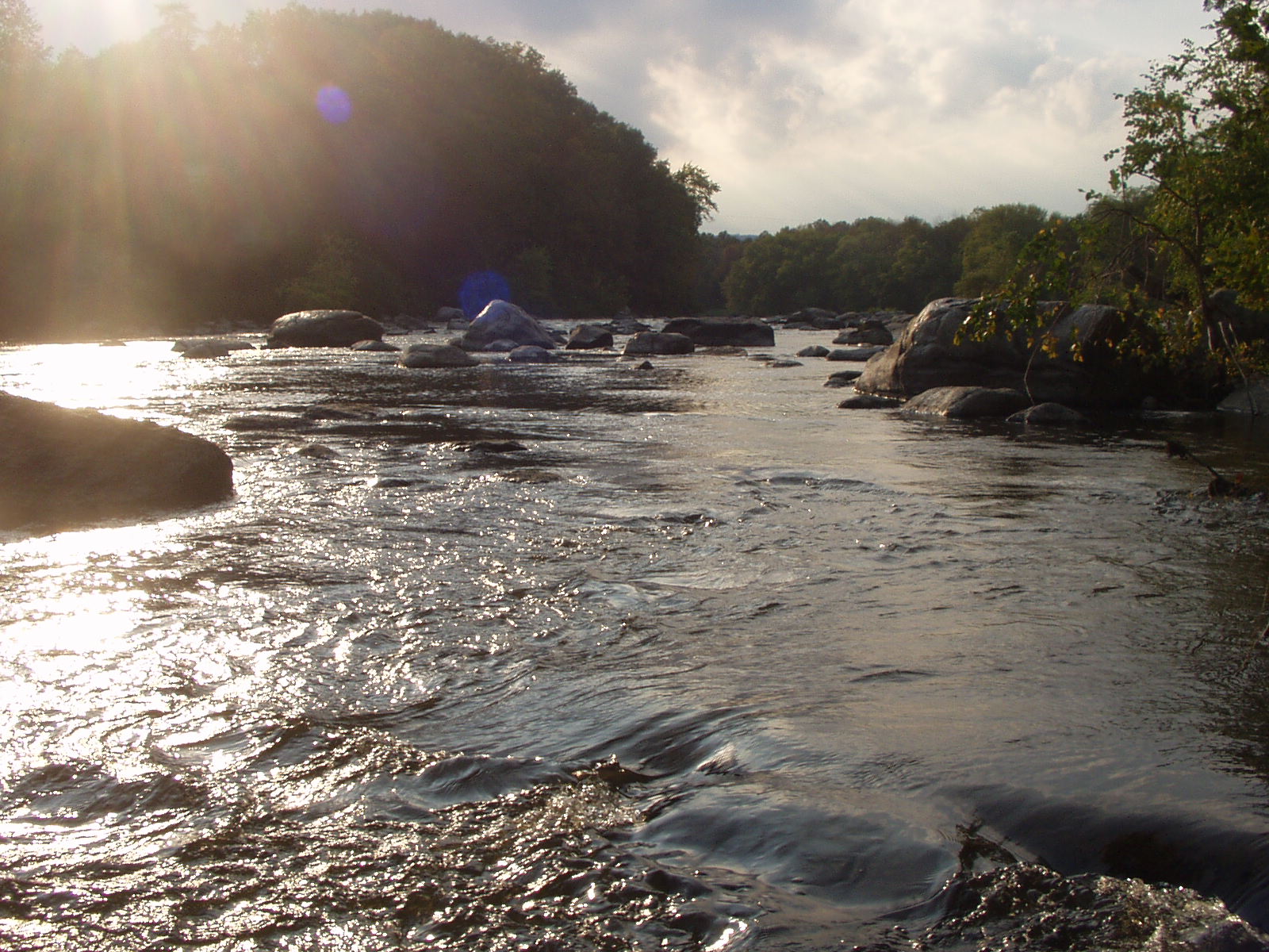
Wallkill River Water Trail Public Access Points
Last Updated: May 26, 2019The map at the bottom of this page displays access points for paddlers — including rafts, canoes, and kayaks — to enter and exit the Wallkill River. Click on any launch point in the map for details and photos of the location.
River Flow Conditions
Use the discharge visualization below as paddling context before heading out. Conditions can change quickly after storms, during low-flow periods, or near dams and impoundments.
Low Water
Under 1000 cfs. May be too shallow and may require portage in some sections.
Moderate Water
1000–2000 cfs. Navigable in most sections. Some rapids may be present.
High Water
Above 2000 cfs. Paddlers may encounter rapids or swift-moving water in some sections.
Live River Flow — Wallkill River at Gardiner
Real-time discharge from the USGS gauge at Gardiner, shown over the past 14 days.
Status: Loading the latest reading from the USGS gauge…
River flow is paddling context only. Conditions can change quickly after storms and near dams or impoundments — always confirm conditions on site, and do not treat this reading as an official NYSDEC / NYSDOH notice.